


 ,
,  ,
,  ,
, 
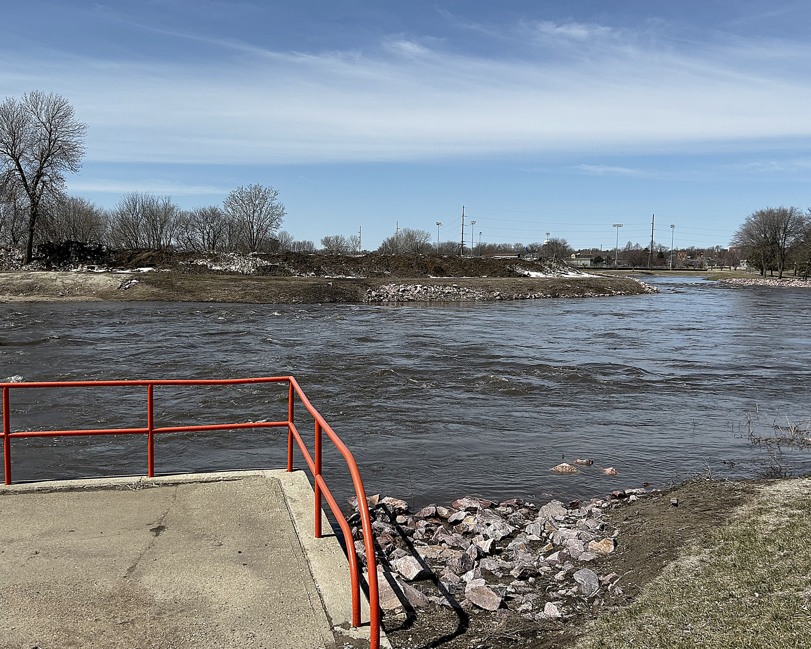
The Rock River spilled its banks over the weekend in Luverne, sending water into Riverside Park on the north side of County Road 4 on Sunday and Monday.
The Luverne City Park and Redbird Field escaped flooding, however, and by Monday morning water levels began to recede.
According to the National Weather Service, the river crested just before 10 p.m. Sunday in Luverne at 9.9 feet.
Moderate flooding at that location is considered to be 10 feet, and at noon Monday, it measured 10.45 feet. The record was set on June 17, 2014, at 14.9 feet.
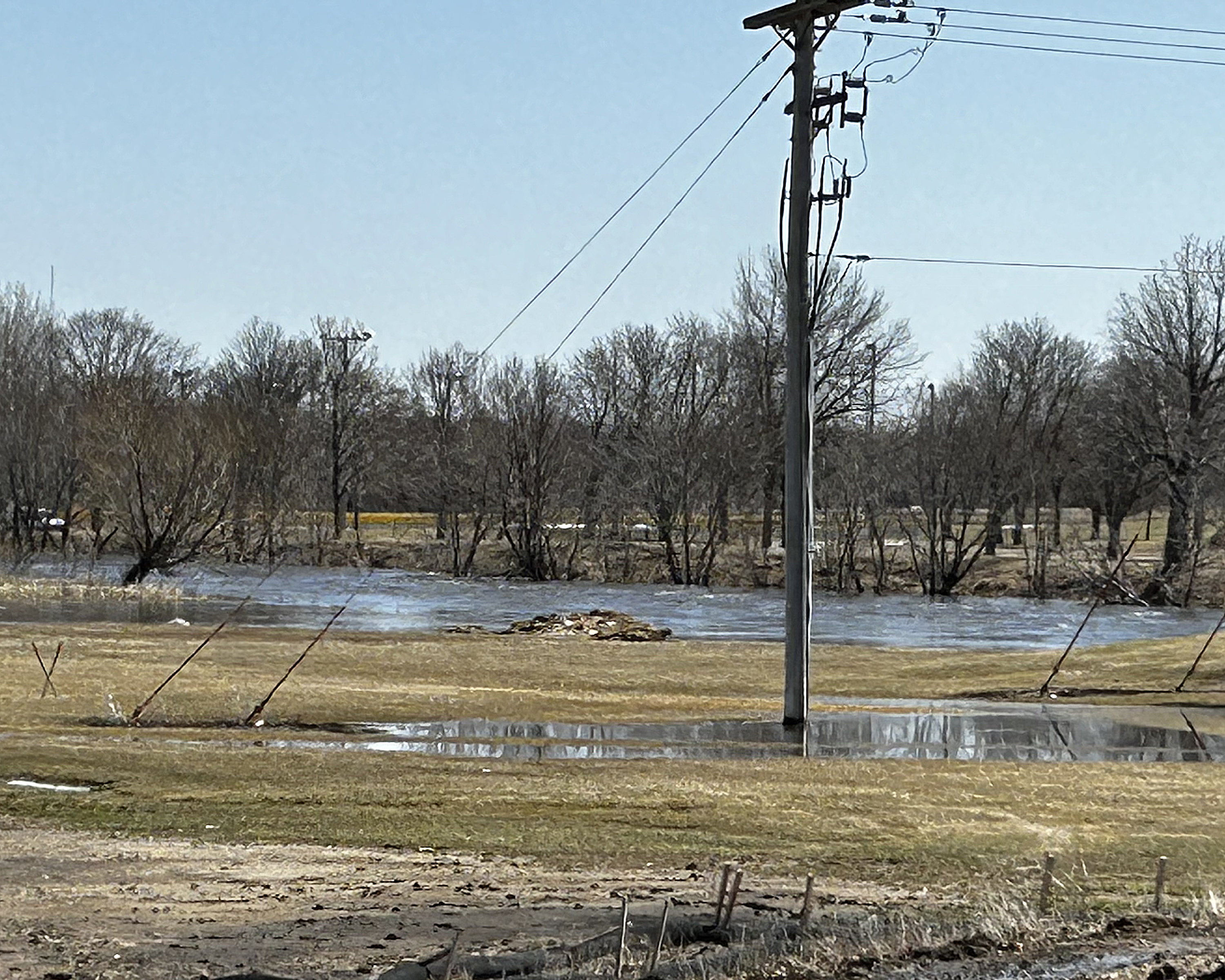
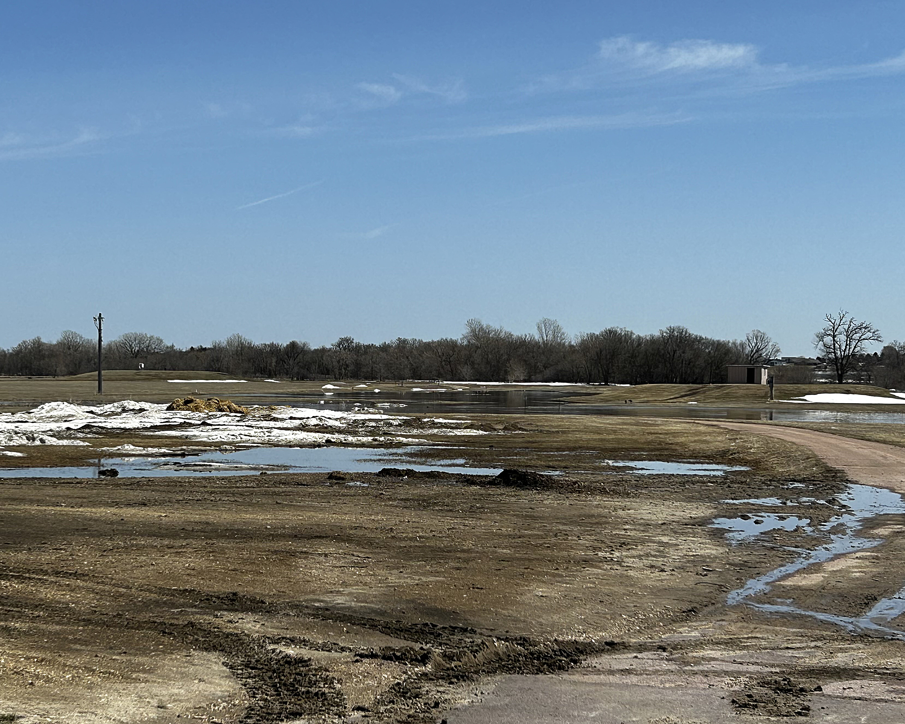
In other parts of Rock County over the weekend, many fields and pastures were under water as spring temperatures warmed into the 60s prompting a rapid snow melt.
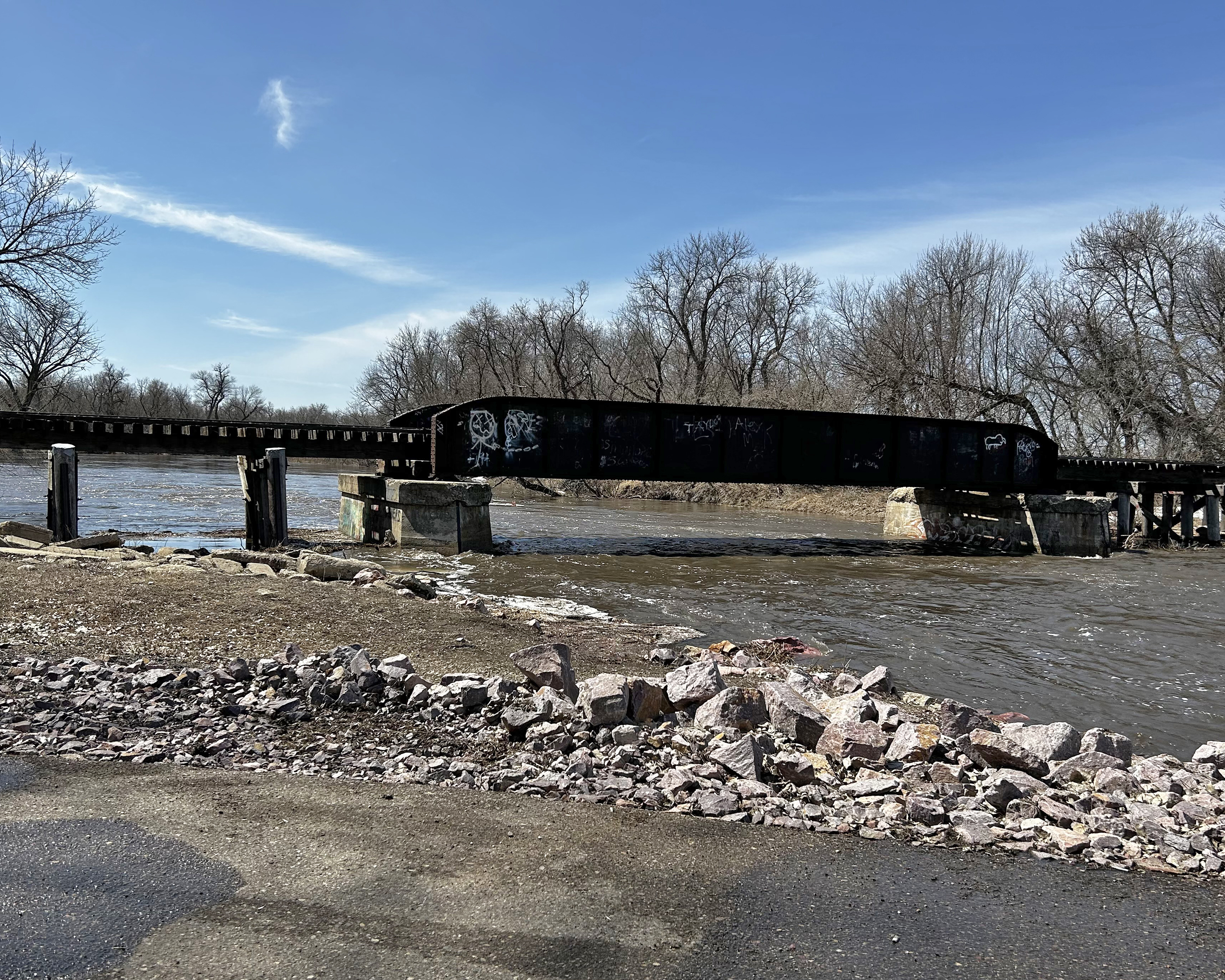
The Rock River near Hardwick was dammed at County Road 7 with ice chunks and branches, causing flood warnings for water levels that reached 14.58 feet by Monday afternoon.
At that location, 12 feet is considered “actionable” and 14 feet is considered “minor flooding.”
In northwestern Rock County, melting snow combined with fresh rain to fill waterways and creeks that rushed toward Split Rock Creek, which spilled its banks south of Jasper Saturday night.
By Monday, however, it receded back to well within its banks, likely due to an ice dam breaking apart upstream.
This comes as a bit of relief to area residents who had started to brace for spring flooding. Now attention is turning to how the extra winter snow will affect drought conditions.
Snow cover, water content, soil moisture, frost depth …
Only two weeks ago, Rock County and southwest Minnesota still had more than a foot of snow on the ground, in addition to 12-foot-tall piles on properties and 5-foot-tall berms along roadways.
In terms of ranking, it’s among the deepest on record for March.
Most of that snow held roughly 3 to 5 inches of “snow water equivalent,” and had it melted rapidly with additional rainfall, flooding would have been problematic.
As it happened, cool temperatures prevailed, allowing daytime melting and nighttime freezing up until the past week.
Soil moisture has started to recover after nearly two years of drought conditions, but many areas started the winter in drought, which means the soil is able to absorb and hold water from the snowmelt.
The early snowpack kept frost depth to a minimum over most of the area this year, and in some cases the soil wasn’t even completely frozen below the snow.
Local measures in March reported frost only 4 inches below the surface because heavy snow served as an insulator. (Typical frost depth in this part of the state under bare ground is more than 20 inches in March.)
This also mitigated flooding because melting snow and rain water can quickly infiltrate the soil rather than run off over a frozen layer.
Drought nearly over
Drought conditions have been improving drastically over the winter, according to the National Weather Service Drought Monitor.
In November Rock County was solidly in “drought,” compared with
April 4, (when the Drought Monitor was last updated) when most of Rock County was considered to be “abnormally dry,” which is the next step down from “none” on the monitor.
Most river levels in the area were below normal when ice formed, so there is more room for runoff to be incorporated into the rivers before they would flood.
Many ponds and marshes that had dropped to low levels prior to winter are now able to intercept water that would otherwise contribute to river and stream rises.
If these trends continue, farmers can expect to start spring field work by late April and easily meet planting deadlines, according to farm analyst Kent Thiesse.
“If we can avoid any further significant amounts of precipitation in the next couple of weeks and get some warmer temperatures,” he said, “many crop producers in Iowa and southern Minnesota should be able to begin full-scale corn planting once soil conditions are fit.”