


Preliminary flood insurance rate maps may be incorrect due to several key omissions.
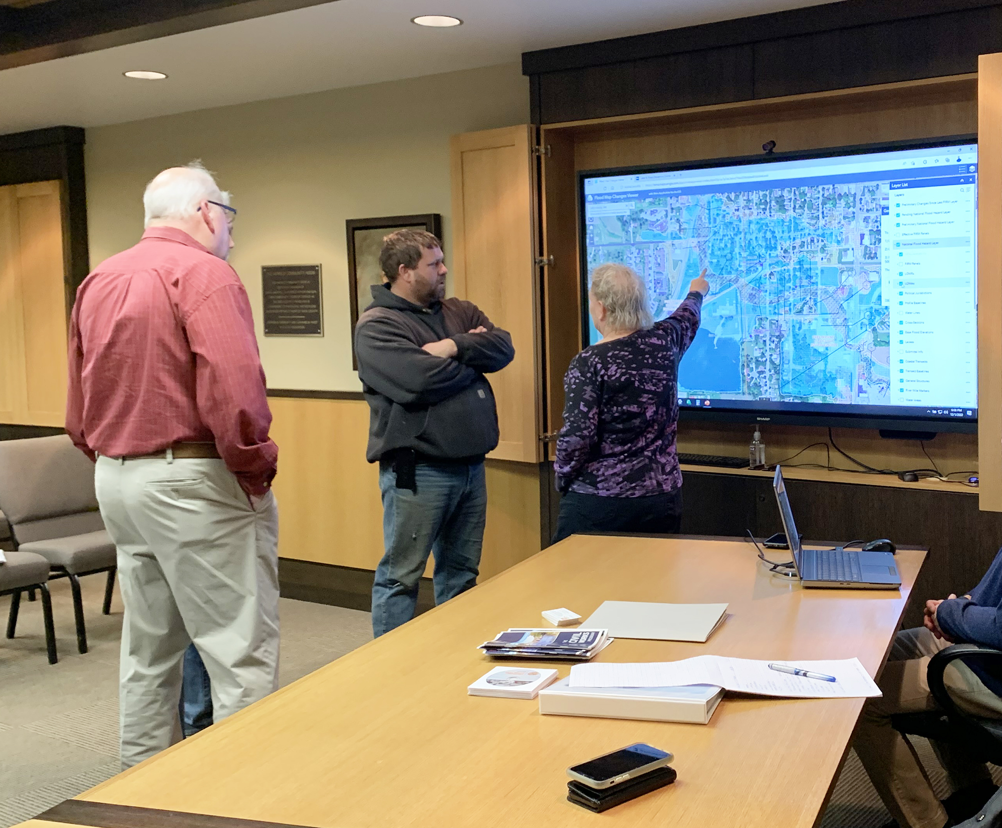
Local municipality and county leaders reviewed the preliminary flood maps earlier this month.
The public may view the maps online at https://hazards.fema.gov/femaportal/prelimdownload/.
Local leaders noticed the flood plain areas through the city of Luverne were not significantly decreased, even after the completion of several flood mitigation projects almost 20 years ago.
Chad McClure, Luverne’s building inspector, pointed out the possible discrepancies in the flood plain surrounding Poplar Creek to the FEMA representatives hosting the meeting at the Rock County Courthouse.
“I am thinking, in reality, the plain should be smaller than what is shown on the (preliminary) map — from the north side of town down to Highway 75,” he said.
The preliminary map updates maps developed in 1980.
FEMA representatives first met with municipal and county officials in 2016, when local officials first pointed out the mitigation improvements.
The city of Luverne worked with FEMA after the 1993 flooding event to construct two water retention basins, said County Administrator Kyle Oldre.
One basin is located near Maplewood Cemetery and the other is located northwest of the school. The projects were finished in 1996.
Since then, several smaller flood mitigation projects have taken place in Luverne to increase water flow under the Buffalo Ridge Railroad and under South Highway 75.
“There were vast improvements to control those floodwaters and improve what happens when it does rain,” McClure said.
As a result of the retention efforts, damage from the 2014 flood event was limited.
“It (water) stays within the (Poplar Creek) banks is how they were designed,” Oldre added.
McClure noticed between 30 and 40 additional homes now appear in the flood plain area. These homeowners may be required to purchase flood insurance and would be notified about the new stipulation if the preliminary maps are finalized and no appeal with FEMA is filed.
Ceil Strauss is the State National Flood Plain Insurance Program coordinator.
She explained FEMA’s appeal process where residents work with their municipal representatives to submit documentation outlining any flood mitigation efforts not included on the flood maps.
“Because we know the maps are not perfect,” Strauss said.
Individual homeowners’ efforts to build above the flood plain are often not known at the federal level unless an appeal is filed, she said.
In the case of large projects like that completed by the city of Luverne, FEMA may redo the maps to include the missing information.
“We will go back to the beginning and release new maps,” Strauss said.
In addition to reviewing flood plain maps online, each city clerk’s office has printed flood maps of their individual municipalities for public viewing. The Rock County Courthouse has printed maps of the unincorporated areas in the county.
This spring, communities are encouraged to adopt the new flood risk data before the new flood insurance rate maps go into effect.
Residents in communities that fail to meet the adoption deadline would be able to buy premiums through the National Flood Insurance Program.