


Luverne’s population grew more in some parts of town than others, according to 2020 Census block data, affecting the city’s ward and precinct boundaries for voting purposes.
By statute, cities with wards must redistrict ward boundaries to ensure compliance with ward population equality and other legal requirements after completion of the decennial Census.
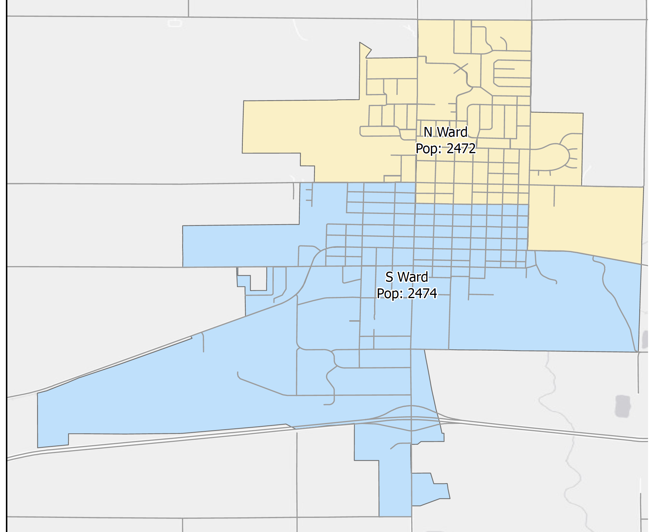
The 2020 Census shows a 14 percent difference between the city’s North and South Ward over the past 10 years since the 2010 Census.
Per Luverne’s city charter and state law, wards must be as equal in population as possible, so the ward boundary was moved to the north one block from Highway 75 and Brown Street to Highway 75 and Crawford.
In March Luverne City Council members adopted an ordinance to redistrict city election wards, bringing the North Ward population to 2,472 and the South Ward population to 2,474.
Because precincts are compact and contiguous with wards, the ordinance also changes precinct boundaries, which were realigned to accommodate population changes.
Adding a block to the northwest precinct and adding two blocks to the southwest precinct brings the northeast precinct to a population of 1,763, the northwest precinct to a population of 709, the southeast precinct to a population of 1,721, and the southwest precinct to a population of 753.